
Guiding question
How is the groundwater system responding to recharge, abstraction and environmental change, and what risks may result?
Modelling scope follows the data that genuinely exists.
Basin Lab
How does groundwater respond to recharge, abstraction and environmental change?
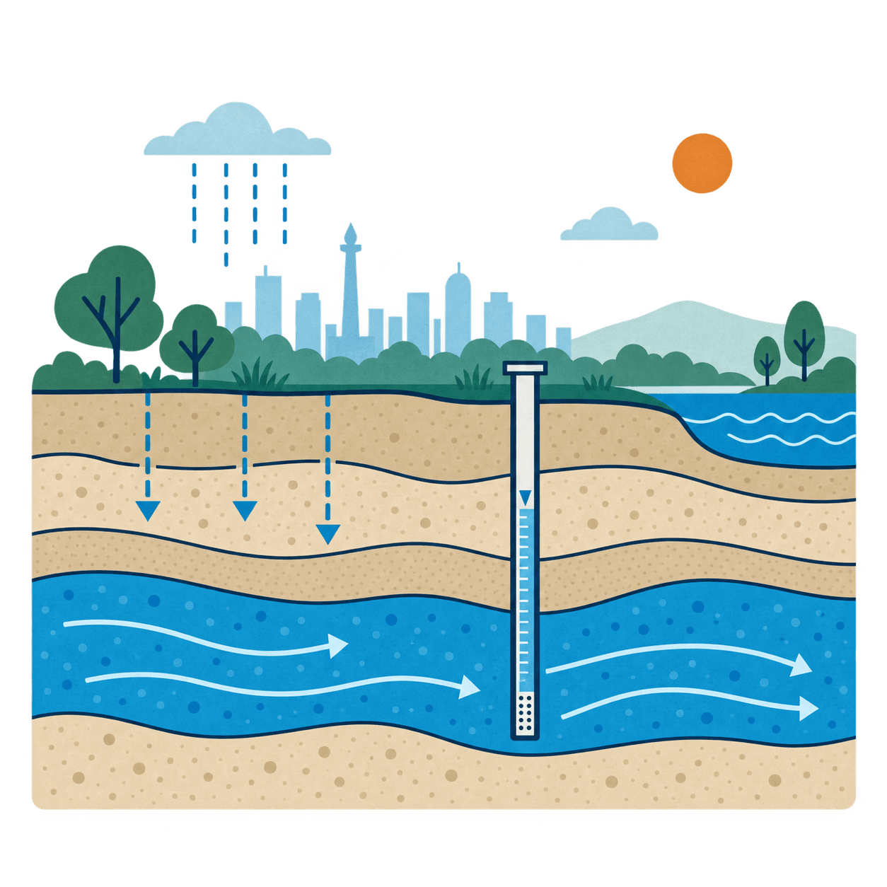
Guiding question
How is the groundwater system responding to recharge, abstraction and environmental change, and what risks may result?
Modelling scope follows the data that genuinely exists.
01
Records and monitoring.
02
Coverage and quality.
03
Aquifers and boundaries.
04
Choose a method that matches the data.
05
Status, stress and scenarios.
Listing these requirements does not imply availability. Availability is part of the research.
The official Jakarta Groundwater Basin is the long-term study area. The dashboard below is a research prototype, not a live groundwater service.
Static schematic. No live data. Not connected to operational systems.
Research prototype — not an official groundwater information service. For research and testing only. Government agencies keep their responsibilities.
Planned
Basin Lab
Reviewing groundwater records, wells, aquifers, pumping, recharge and land sinking to decide what we can honestly model.
Open research page →Nothing published yet
No Basin Lab outputs listed yet.