
01
Groundwater Abstraction
Abstraction → groundwater decline → possible subsidence → higher flood exposure.
Surface Water ↔ Groundwater
Understanding risk across connected water systems.
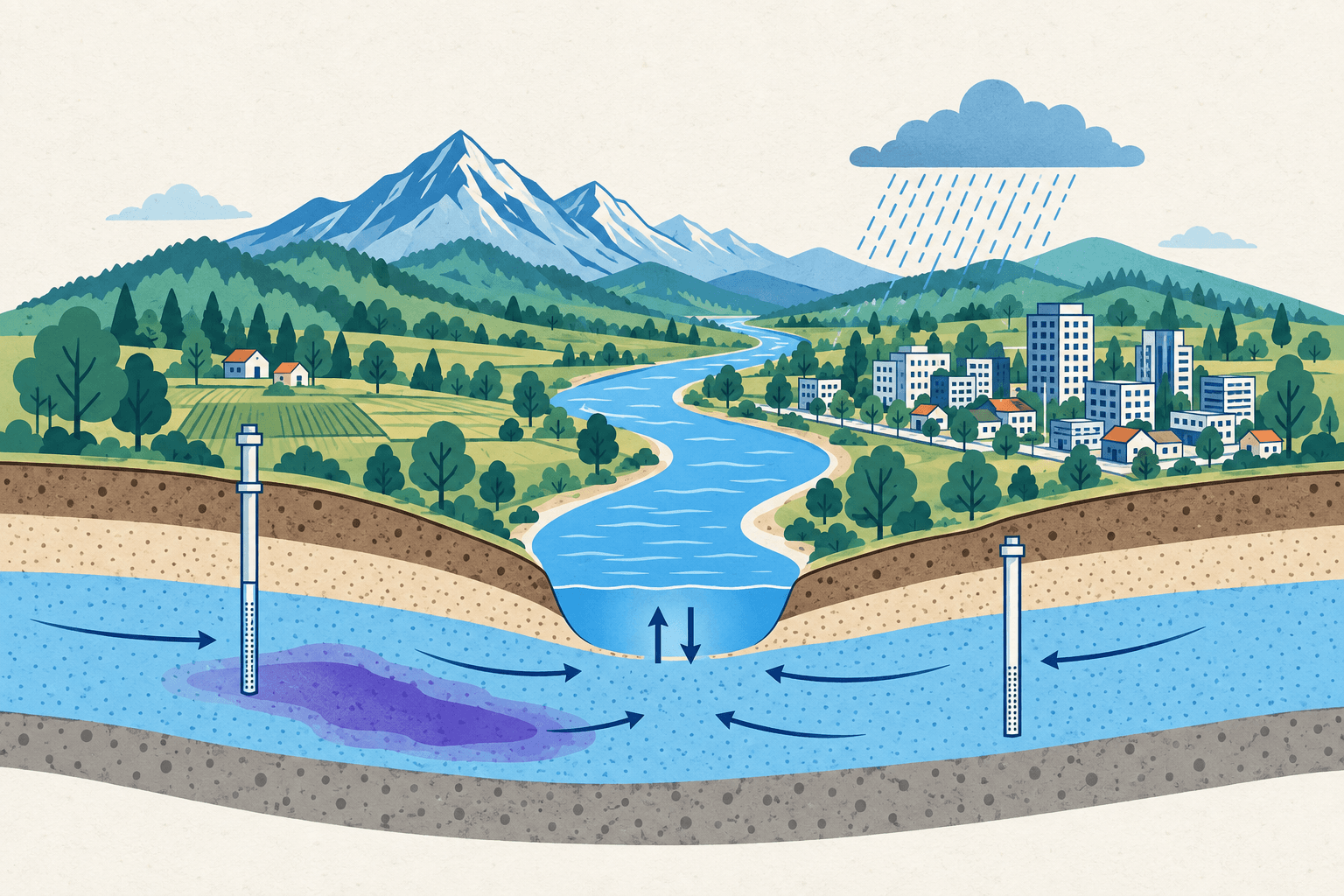
Actions and pressures in one part of the water system can create consequences elsewhere. Surface water and groundwater cannot be treated independently.
Illustrative pathways; responses depend on local conditions. Research themes are not automatically current projects.
01
Abstraction → groundwater decline → possible subsidence → higher flood exposure.
02
Rainfall deficit → low flows and reduced recharge → groundwater drought.
03
Source → groundwater plume ↔ river–aquifer exchange → receptor exposure.
04
Impervious cover → more runoff and less infiltration → altered recharge.
Scoping
Connected Water Systems
First research that links the two long-term study areas.
Open research page →Contaminants, transport and receptor risk across both water systems.
This is shared research, not a third laboratory. Water quality is a property of a water system, not a system on its own.
Establish what is present, where, and under what conditions.
Choose measures that answer a question the data can support.
How contaminants move through surface water and groundwater.
Compare observations against published criteria, with uncertainty.
Connect concentrations to people, ecosystems and uses.
Catchment applications
River quality · Sediment · Pollutant transport
Basin applications
Groundwater quality · Contaminant plume · Receptor exposure
Measurements, data checks and shared maps for both laboratories.
This function serves the research laboratories. It is not a separate software unit and does not develop commercial products.
Scientific governance: Fit with the physical system · Baseline comparison · Transparency · Uncertainty · Reproducibility
We use machine learning only when it helps us understand the water system. It is a method, not the brand.
Nothing published yet
No Connected Water Systems outputs listed yet.