
Guiding question
How is water moving through the catchment, how is the system changing, and what risks may result?
Catchment Lab
Understanding rainfall, rivers and surface-water risk — starting with observation.
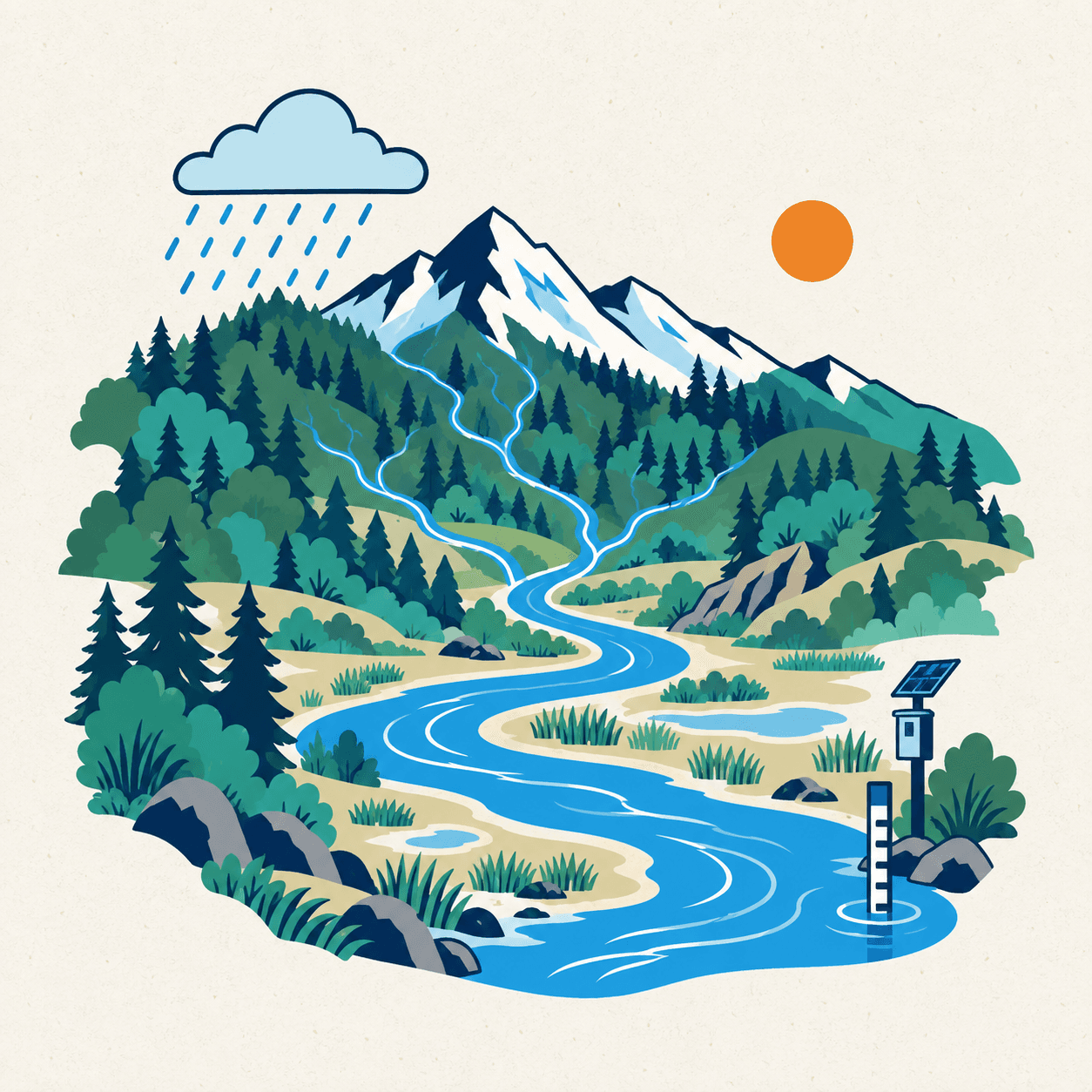
Guiding question
How is water moving through the catchment, how is the system changing, and what risks may result?
Measure first. Do not add model complexity the data cannot support.
01
02
Future research — next phase depends on sufficient data quality and hydraulic information.
A long-term study from upstream to downstream. The monitoring layout shown is a planned design, not what is already in the field.
Static schematic. No live data. Not connected to operational systems.
Monitoring infrastructure shown represents an intended research design and does not imply that the infrastructure is already installed. Planned sensors are not installed infrastructure.
Research prototype — not an authoritative operational monitoring or warning service. Operational warnings remain with competent government authorities.
Scoping / In Preparation
Catchment Lab
Setting up rainfall and river-level measurements, checking data quality and showing them on a research map.
Open research page →Nothing published yet
No Catchment Lab outputs listed yet.